Pyramid retile
The ortho-mosaics generated by stitching software are hard to render on the website. The workflow generates tiles from ortho-mosaics using gdal_retile and serves outputs with [GeoServer][http://geoserver.org/].
Workflow
This workflow does not require user inputs and is automatically triggered by workflow stitch mosiac. You can manually trigger it if you want to regenerate pyramid retile.
View layers on the map
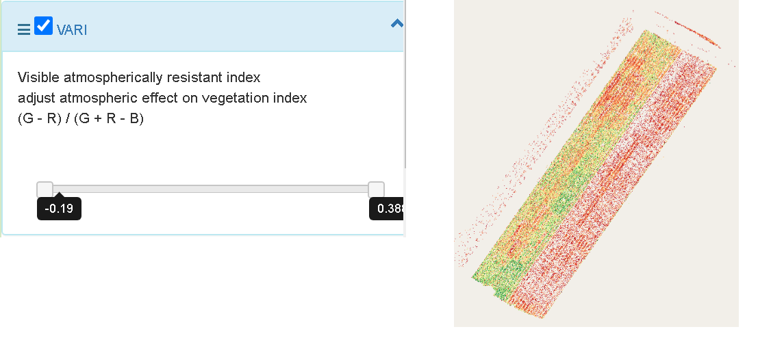
All available layers are rendered on the map using OpenLayers including ortho-mosaics, digital surface model, vegetative indexes and generated layers in phenotypic functions (e.g. ground coverage). In default, only one layer is enabled depending on the camera types (e.g. temperature for thermal camera, ortho-mosaic for visual camera).
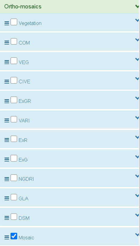
In the ortho-mosaic panel, user can
- enable/disable a layer
- adjust the order of layers.
- change the range of layers with one band (e.g. temperature, vegetative index).